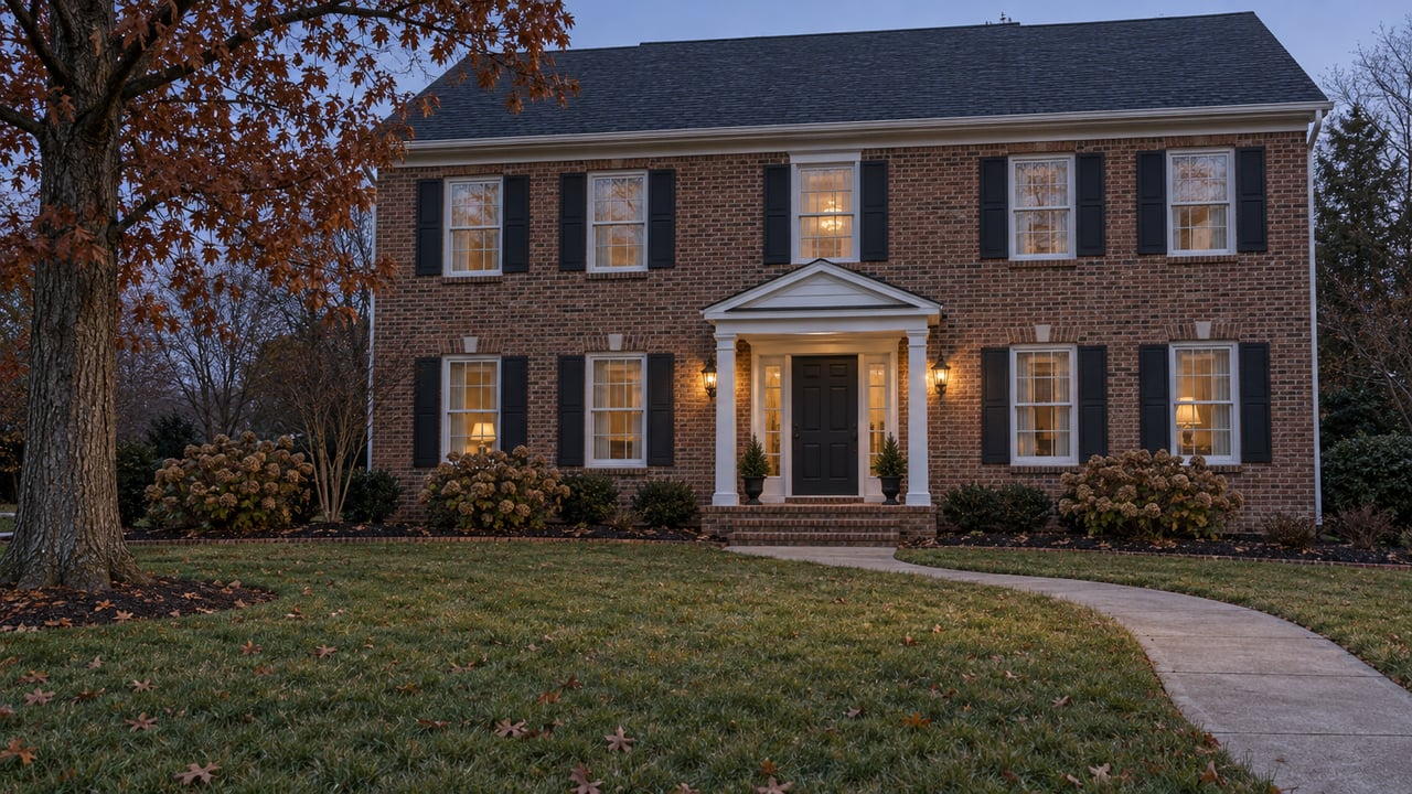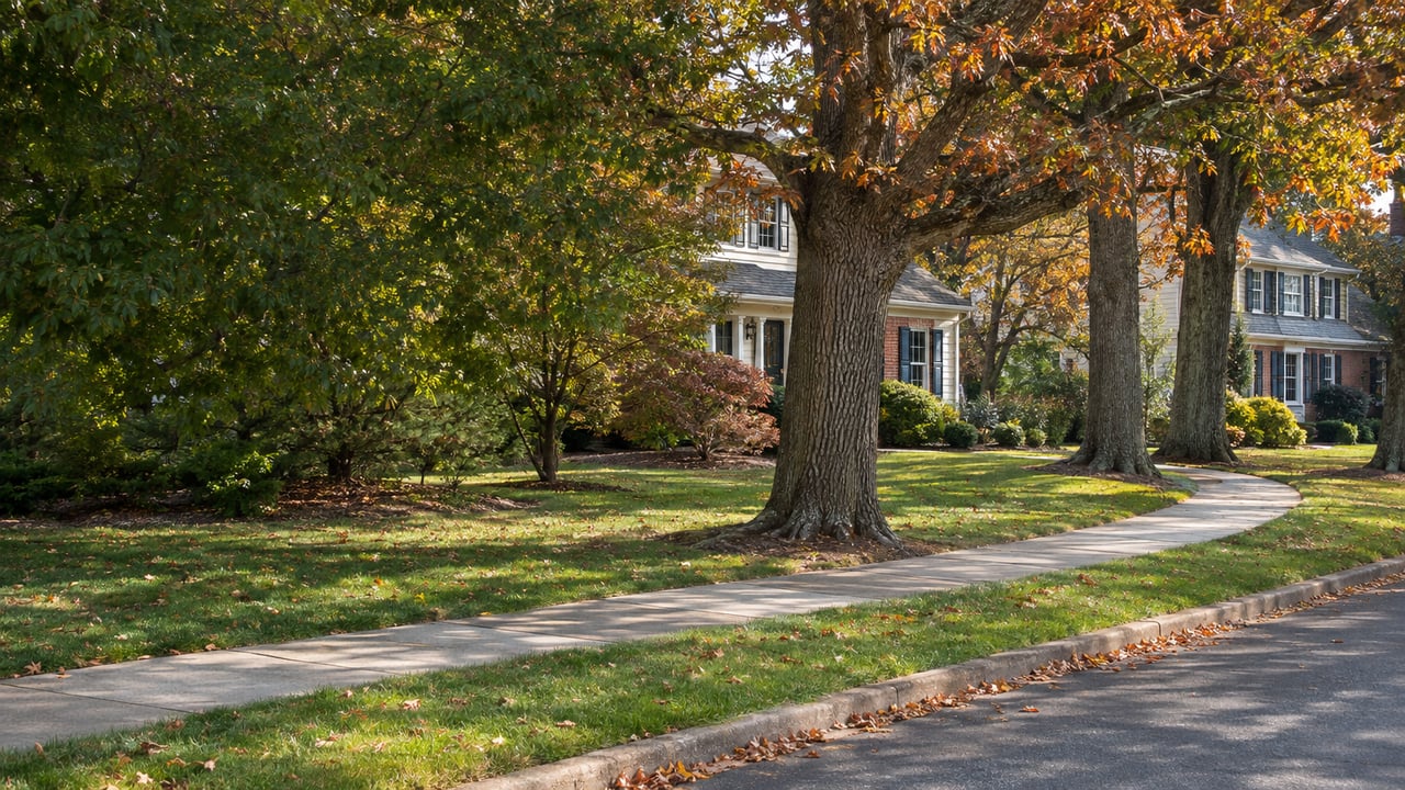
At Center Street, cars already cross the Conrail tracks at an existing railroad crossing. Under Gloucester County's current plan, that crossing is also where the Dinosaur Trail would reach Mantua Township. Walkers and cyclists heading for the fossil park would use the same crossing, and nothing new would need to be built over the rails.
The trail would end at Edelman Fossil Park & Museum on Million Mosasaur Way, and most of the public discussion has been about wooded creek corridors and backyard buffers in Glassboro and Pitman. In Mantua the plan looks very different. The last stretch would mostly run on streets that already exist: a sidewalk and marked bike route on West Atlantic Avenue, a roadside path on Center Street, and buffered bike lanes on Mantua Boulevard. In the town where the trail ends, it would show up as a change to familiar roads, with very little new path in the woods.
A Creek Path for Most of the Way
Gloucester County is planning the project with the Delaware Valley Regional Planning Commission and engineering consultant McCormick Taylor. The proposed multi-use path would run 3 to 5 miles, from the existing shared-use path on Carpenter Street in Glassboro, through Pitman, to the fossil park. The county says it would serve as the spine of a countywide trail network, with links to the Circuit Trails across South Jersey and Greater Philadelphia.
According to the Woodbury Warbler's account of the September 29 public meeting, about 88 percent of the preferred route would be dedicated off-road path. Sidewalks and on-road bike accommodations would cover the other 12 percent. The route generally follows the Chestnut Branch from Glassboro into Pitman and Mantua. It would run west of Looney Park and Alcyon Park, use an existing structure to pass under Route 55, and continue past Pitman Golf Course, Emerald Lake, Cedar Lake and Ceres Park before reaching Main Street near Tylers Mill Road.
North of Tylers Mill Road, the plan moves onto roads. The table follows the route from south to north, using the cross-sections presented at the September meeting.
| Segment | What the concept shows |
|---|---|
| Chestnut Branch corridor, Glassboro and Pitman | Off-road path, typically 10 feet wide with 2-foot shoulders, narrowing to 8 feet in tight spots |
| Lambs Road near West Holly Avenue | 8-foot path with a 5-foot buffer from traffic, crossing at the existing signal |
| Tylers Mill Road | 8-foot path with a 5-foot buffer |
| West Atlantic Avenue | Existing sidewalk for pedestrians, marked on-road bike route for cyclists |
| Center Street | 8-foot path with a 2-foot buffer, plus existing shoulders, crossing the tracks at the existing Conrail crossing |
| Mantua Boulevard, Center Street to Route 553 | Sidewalks plus buffered bike lanes about 6.5 feet wide in each direction |
| Museum end | Connection to the existing shared-use path serving the fossil park |
What the Mantua Stretch Would Look Like
On West Atlantic Avenue, people on foot would use the sidewalk and cyclists would share the roadway with cars, using marked bike accommodations. The Warbler describes this section as using existing roadway infrastructure, with no separated path.
Center Street is where the plan returns to a dedicated path. That path would be 8 feet wide with a 2-foot buffer, the thinnest buffer on any roadside segment in the concept. The Lambs Road and Tylers Mill Road segments each have 5 feet. Using the existing Conrail crossing here also gets around a problem that complicated some of the earlier route options, which would have needed new railroad-crossing infrastructure.
The last leg follows Mantua Boulevard. Between Center Street and Route 553, the concept keeps the existing travel lanes and adds buffered bike lanes about 6.5 feet wide in both directions, with sidewalks for pedestrians. From there the route joins the existing shared-use path that serves the museum, which completes the link from Rowan University to the fossil park. A 2024 report on the Mantua Boulevard Extension described the raised roadway leading toward the museum parking area as appearing to carry a paved walking and bicycle path.
The plan also names the Center Street railroad crossing as one of several potential trail access points. The others are near Rowan University at Joseph Bowe Boulevard, Alcyon Park, Ceres Park, Looney Park, Lambs Road and the fossil park. The trail-access map also shows NJ Transit bus service and the proposed Glassboro-Camden Line.
How Public Comments Shaped the Route
The September route was built from public comments. At the first public meeting in March, residents raised several concerns: flooding behind Howard Avenue, environmental impacts in Ceres Park, Alcyon Park's restrictions on bicycles and after-dark use, and the proposed Route 55 option. Planners did not pick one of the original three options. They combined pieces of Options 2, 3 and 3A into a hybrid, which the county now recommends as its preliminary preferred alternative.
The hybrid made three main changes:
- Route 55 is out. Planners dropped that option because of pedestrian restrictions, safety concerns and the higher cost of structural changes.
- Alcyon Park gets a connection, but the route goes around it. The trail would no longer run through the park, which avoids conflicts with the park's existing rules.
- Homes near Howard and South Cummings avenues get more distance. The route now crosses the Chestnut Branch earlier near Howard Avenue, and the September presentation showed buffers of about 25 to 50 feet behind South Cummings Avenue properties.
Pitman's leaders took notice. At the October 13 Pitman Borough Council meeting, the mayor said the chosen option "takes it far away from our homes in Pitman and takes it out of those low-lying areas that can be impacted by water and flooding," and called it "overall positive if the project should move forward," according to the council minutes.
The roadway sections in Mantua line up with the same thinking. Running the route along existing streets keeps it out of backyards, and it reuses crossings that are already there: the West Holly Avenue signal on Lambs Road, the Route 55 structure, and the Conrail crossing on Center Street.
The Questions Still Open
The plan still has big gaps. The current Local Concept Development study is funded through DVRPC. As of the September meeting, no funding had been identified for preliminary engineering, final design or construction, and the team gave no construction cost or completion date.
The hardest crossing on the route is in Pitman, at Main Street and Tylers Mill Road. The project team reviewed crash data there and found problems with the intersection's layout and with limited sight lines. Improvements under consideration include a traffic signal, high-visibility crosswalks, lighting and possible speed-limit changes. The current concept does not assume a signal, so without one the trail would cross away from the intersection itself.
Maintenance is the question that lands with each town, Mantua included. The county's usual practice is for towns to maintain county-built trails, and project representatives said each municipality along the Dinosaur Trail would generally be expected to maintain its own section. Specific maintenance arrangements and costs have not been set.
The project team does describe the corridor's reach. It could connect about 18,000 residents, 5,700 jobs and 20 essential services or community facilities, and link to about 196 miles of low-stress bike routes. The team also said it does not have projections of how many people would use the trail.
Mantua's Vote Is the Next Step
Before engineering can start, the county is asking Glassboro, Pitman and Mantua to pass resolutions of support for the hybrid route. It expected to finish the Local Concept Development Report and related approvals in late fall 2026. The Mantua Township Committee's October 19 agenda listed resolutions R-174 through R-188, and none of them concerned the trail.
The museum is also planning for more visitors. The Mantua Land Use Board's October 20 agenda listed Application 2026-029 from Edelman Fossil Park and Museum of Rowan University, a courtesy plan review for a new parking lot of about 141 spaces. The lot would sit east of the existing museum lot, between the fossil quarry and Million Mosasaur Way, which is County Route 676.
The county has posted the September slide presentation, the route map and a recorded meeting with closed captioning, linked from Mantua Township's project notice. Project questions go to Karen Jost at Gloucester County, and the project team posts updates on "The Dinosaur Trail, NJ" Facebook page. The county has also said there will be more public outreach once the project reaches engineering.
If you live near West Atlantic Avenue, Center Street or Mantua Boulevard and want to know how a project like this could affect your street, Pat Settar and our Mullica Hill team follow these Mantua projects closely and are glad to talk it through. Contact Us anytime.